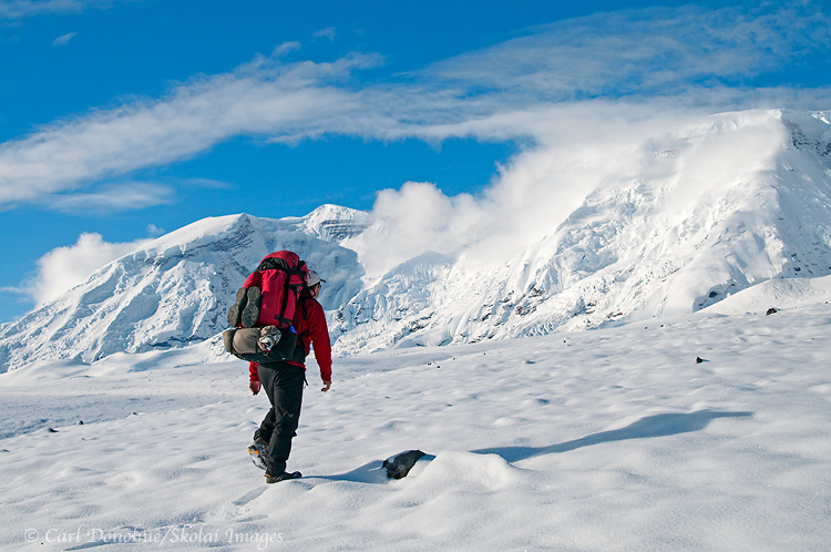
View down Arrigetch Creek, from near Escape Pass, and the peak called Albatross. Elephant’s Tooth visible in the distance. Arrigetch Peaks, Gates of the Arctic National Park and Preserve, Alaska. Please click on the image above to view a larger version of this photo.
Hey Folks,
So here’s the view from my previous blog post in reverse; that shot looks up the valley towards where this one was taken. The peak at the far end of the valley, on the right hand side, is known as Elephant’s Tooth, a classic granite outcrop in the Arrigetch Peaks. The creek here is Arrigetch Creek (I’m not sure, but the word “Arrigetch” may well be a traditional Native Alaskan word meaning “rains like a sonuvagun” or something similar)
We hiked up this valley, climbed up high and had supper on a small plateau above the valley. A really great spot to camp. The next morning we ate breakfast and packed up, heading higher still to cross thru a high narrow pass towards another drainage, but we were thwarted by a nasty storm and precipitous granite; in the stormy weather I had neither the time nor inclination to scrap around and find a safe route across the steep traverse on the other side, and we descended to the valley floor after lunch.
Sometimes safety means turning back. But what a place to turn back toward, eh?
Cheers
Carl